The flood retention plains, in the central flood plain, especially in Ayutthaya, are a key part of how the Chao Phraya River Basin used to manage water naturally. In the past, areas like Thung Bang Ban, Thung Phak Hai, and Thung Sena acted as open basins that took in floodwater during the rainy season. Canals helped direct the overflow from the river into these fields, easing pressure on the cities and supporting the local rhythm of farming after the water receded.
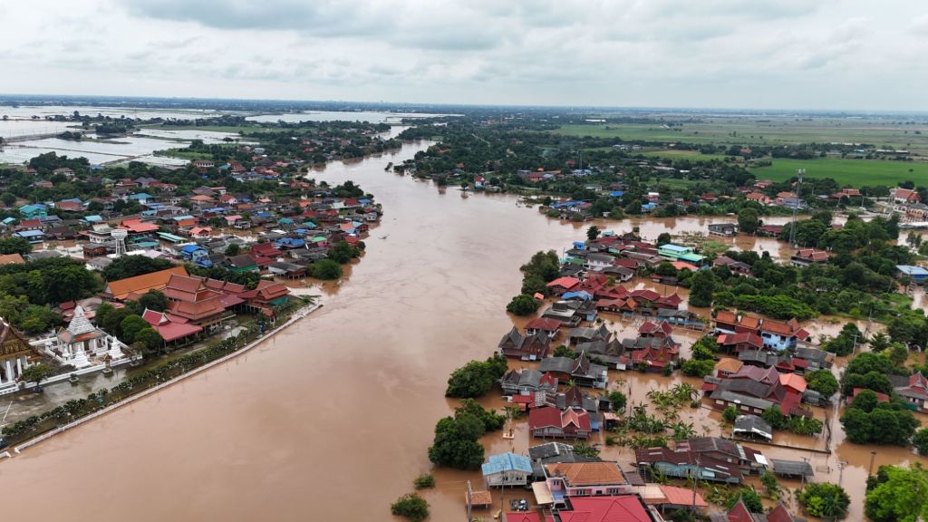
Today, this system has changed a lot. High-levee roads and floodwalls block the natural flow between rivers and fields. Water gates are now operated mostly to keep water out rather than to let it spread across the floodplain. Because of that, water no longer flows freely into the retention fields. Instead, it gets trapped along the river, leaving riverside villages and settlements under water for longer and at higher levels.
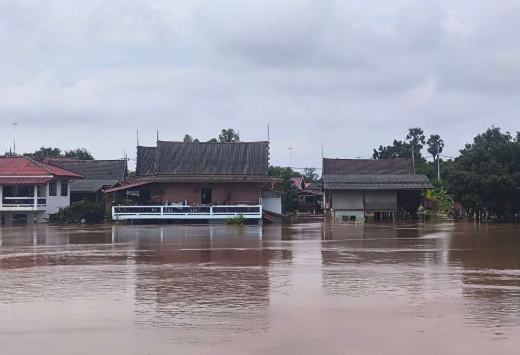
People used to see flooding as a seasonal part of life that supported farming and fishing. Now, it’s often seen only as a disaster that must be stopped. This shift in how people view and manage water has weakened the natural system that once kept the region in balance. If the Thung Rap Nam areas are brought back into the water network through better planning and flexible gate management, they could again help store floodwater, ease damage in riverside areas, and keep alive the cultural link between people and water.

Leave a comment